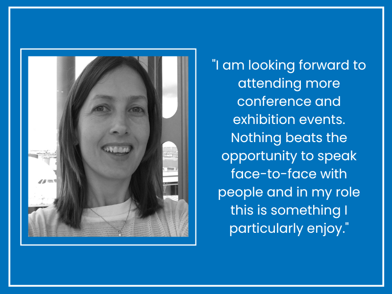
We caught up with one of our Sales Executives, Kathryn Lucas, to find out more about her role at Bluesky.
How long have you worked for Bluesky?
I have worked at Bluesky for 20 years.
What did you do at university?
I studied for a BA Hons in Geography and Psychology at Liverpool University and a PGCE at Nottingham University.
How does a typical day in the life of your role look?
In my role at Bluesky I focus on local authority clients, this is something I enjoy as it gives me the opportunity to build relationships, which is a key part of any sales role. Most of my work involves responding to and working with clients to provide geospatial solutions to help ease their own day-to-day activities. This process begins with a fact-finding discussion to establish what a client is trying to achieve, and how they are hoping to use our data to enable this.
The next step is to then generate a quotation and this often involves liaising with multiple Bluesky departments to confirm location, clarify data currencies and specifications. Account management and customer relations is a big part of my role as a Sales Executive.
Day to day, I also generate new sales leads through a variety of direct contact, marketing initiatives, or attending (and sometimes speaking at) relevant conferences and exhibitions.
What does 2022 look like for you?
2022 is already proving to be a busy year for the sales team at Bluesky. Our National Tree Map™ data – a product that is unique to Bluesky – is proving to be especially popular as we have relevant data for all of Scotland, England, Wales, and the Republic of Ireland. I am also looking forward to attending more conference and exhibition events in-person now these are slowly being re-organised post-COVID. Nothing beats the opportunity to speak face-to-face with people and in my role this is something I particularly enjoy
What’s your favourite product to sell at Bluesky?
I am still (20 years on) impressed by how our team create 3D building models photogrammetrically from our stereo aerial photography. I have been fortunate to win tenders for, and then work alongside, external clients and internal production employees for several large-scale 3D city models including Glasgow, Newcastle, and Birmingham. Visually these certainly have the wow factor on such a large scale!
What are the biggest challenges and rewards?
Finding out who are the appropriate people to speak to within an organisation regarding a product or service can be challenging. Bluesky has a superb reputation within the world of geospatial data providers, so, helpfully, most of my clients within the public sector market are already aware of Bluesky and the first-class service and products we provide
For me personally the rewards are not always related to the final value of a sale. I find it is as rewarding to help someone who is desperate to source an aerial image to help them with a boundary dispute as it is securing a higher value order. I also love it when customers want to share insight into their use of data, finding out how it created time or financial efficiencies both validates the proceeding work and enforces the value of the data, and we then know we have a satisfied customer.
What’s something that would surprise people about your job?
I don’t actually go up in the planes!
What skills are the most crucial to succeeding in this career?
Organisation is a key skill. You need to be able to multi-task and work on several different projects at the same time, all of which may all be at different stages, and will be across a wide range of product sets and of varying values. Attention to detail is important as all of the sales team are responsible for maintaining our central CRM system, and effective communication skills are essential for providing as much detail as possible to clients, enabling them to make informed decisions about our products and services. Approachability, honesty, and confidence all help when speaking with clients about Bluesky and our range of products and services. Basic geographical knowledge of the UK, and an elementary understanding of simple GIS (Geographical Information Systems) platforms is also an advantage.
What’s your best advice for someone looking to move into this field?
Don’t be afraid of the barrage of acronyms that you will be faced with in the geospatial world – there are a LOT of them, but they soon become familiar.


