


Our Partners
We collaborate and partner with some of the most innovative and progressive companies across the globe, from Hexagon and ESRI to Ordnance Survey and Skyline. We are also licensed re-sellers for other geospatial products from companies and organisations including Cranfield, BGS, JBA and Ambiental.


Our cameras and Sensors
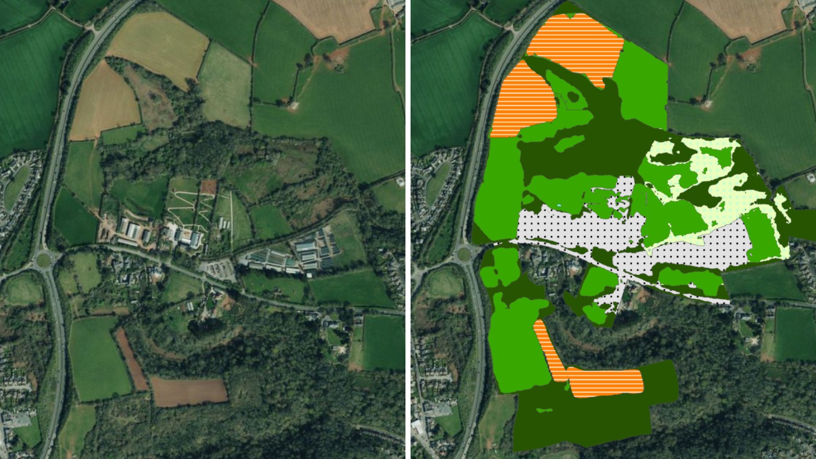
We operate a range of aircraft and sensors including three Ultracam Eagle Mark 3s, two CityMappers which allow the simultaneous collection of vertical and oblique imagery, as well as LiDAR data, and a Galaxy LiDAR which is mounted with a thermal sensor and survey grade camera.
These systems put us in the enviable position of being able to provide customers with unique and cost-effective geospatial solutions.
Memberships
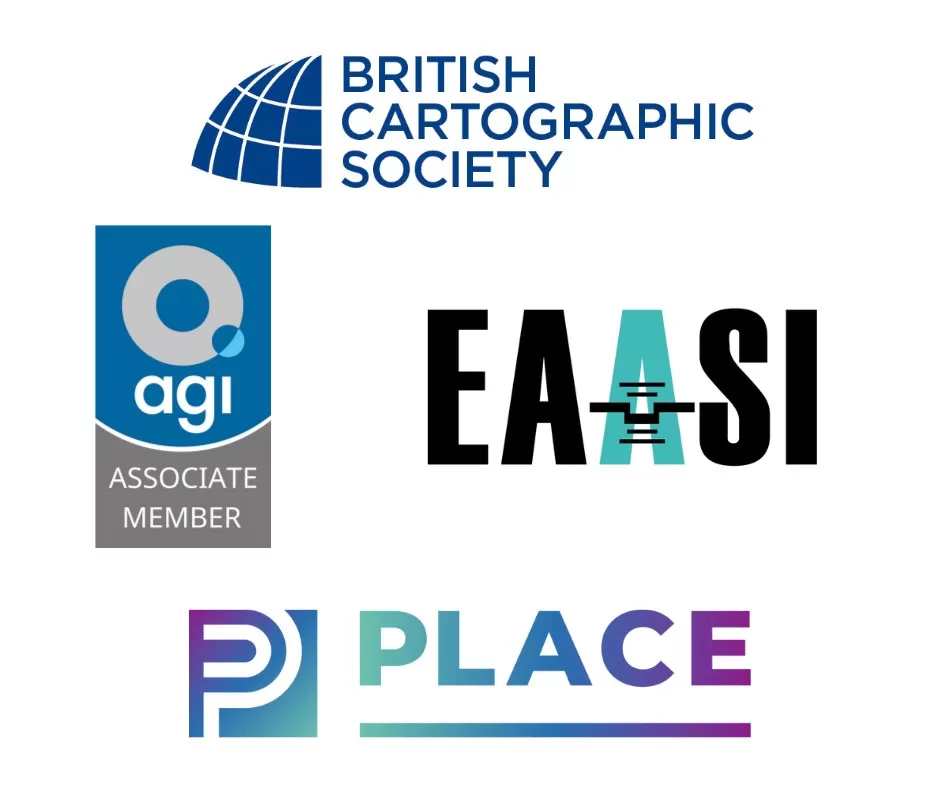
Bluesky is proud to be a member of leading industry organisations including EAASI, the British Cartographic Society and AGI.
Customer Testimonials
“Now that Bluesky has captured, and continues to maintain, high-quality DSM data for the whole of the Republic of Ireland, we can rely on them for the instant provision of accurate and up-to-date datasets.”
Luis Dominguez, Senior GIS Analyst at Macro Works
“I have always been impressed with the professionalism we receive from Bluesky; from the initial quote all the way through to receiving the data and all special requests are accommodated, especially additional details.”
Paul Thornborough, BIM Manager at Buttress Architects
“The Bluesky NTM™ has enabled and assisted conversations about current and future tree cover. It allows us to visualise the urban environment to include the urban forest from the desktop and make data driven decisions.”
Eoin Dullea, Horticulturist at Waterford City and County Council