


- Tool designed by Geospatial Insight shows Ireland’s solar set up
- Data will be used by local authorities, businesses and clean energy sector
- It’s hoped information will help fuel transition to low-carbon economy
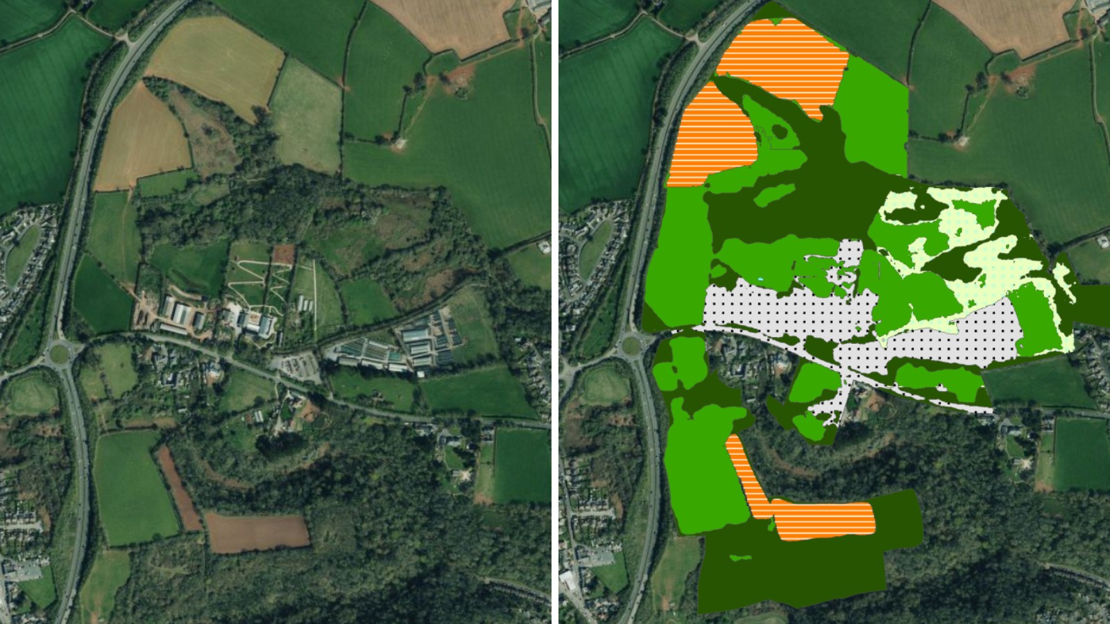
Aerial imagery captured by Bluesky International has been used to draw up a database of rooftop solar panels across Ireland in a bid to aid the country’s transition to a low-carbon economy.
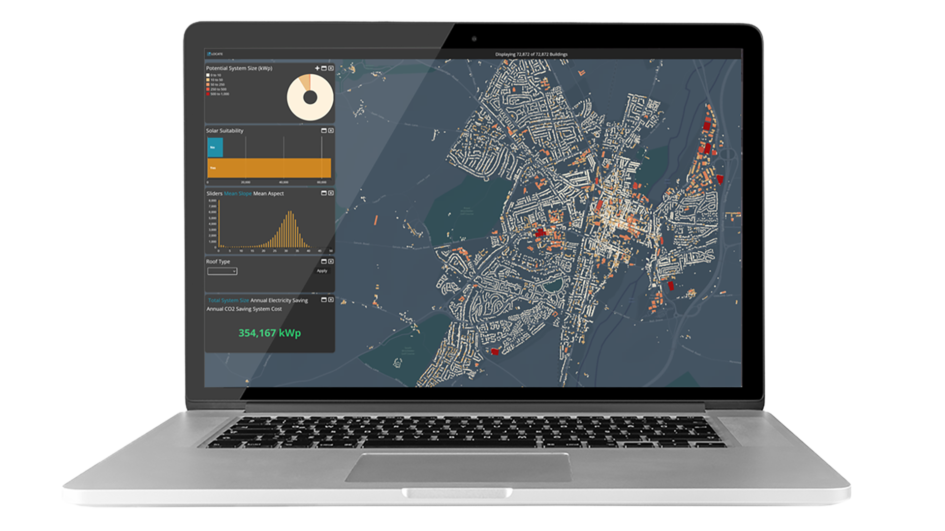
The aerial imagery firm’s data has been used by a leading provider of clean energy geospatial solutions – Geospatial Insight to build the LOCATE PV platform.
More than 1.4 million UK homes and 60,000 homes in Ireland have installed solar panels and currently solar is the preferred alternative energy source for commercial sites aiming to improve their sustainability rating.
However, understanding the impact of these installations on the national power grid and the broader energy market remains a significant challenge.
LOCATE PV significantly enhances the availability and accuracy of solar data in Ireland, offering valuable insights for local authorities, businesses, insurance companies and the broader energy sector.
It means that for the first time stakeholders have a detailed all-in-one tool that is designed to help understand the impact of micro-generation on the power grid and assess the scale and distribution of solar installations across regions.
Ralph Coleman, Chief Commercial Officer at Bluesky, said: “We are seeing an increased need across public and private sectors for our aerial imagery as organisations realise the benefits accurate, high resolution data can have in supporting the planning and analysis of renewable energy schemes.
“The LOCATE PV platform will bring clarity and efficiency to the solar industry as it looks to continue its expansion.”
Dave Fox, CEO of Geospatial Insight, added, “LOCATE PV is a critical advancement in how we understand and manage Ireland’s solar landscape.
“By providing the most accurate and up-to-date data on existing installations, we are enabling more informed decisions that will support the growth of solar energy and the broader transition to a low-carbon economy.”
LOCATE PV is powered by a detailed, machine learning-derived database that accurately identifies and maps existing solar arrays using Bluesky’s high-resolution aerial imagery.
It can then offer a comprehensive, up-to-date and unified information source, with flexible delivery mechanisms and a regular update cycle.